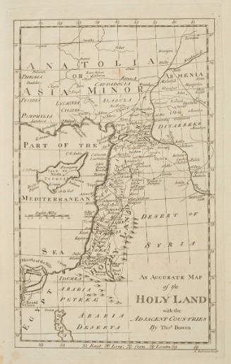
Map of Palestine, or the Holy Land
Artist
Hazen Morse
(American, 1818 - 1843)
Date1828
Mediumline engraving on copper printed on cream wove paper, with hand coloring
Dimensionssheet, trimmed within plate mark: 6.7 × 11.5 cm (2 5/8 × 4 1/2 in.)
ClassificationsMaps, charts and plans
Credit LineCharles E. Goodspeed Collection
Object number1910.48.2124
DescriptionFrom A Scripture Atlas, accompanying Worcester's Outlines of Scripture Geography (Boston, 1828)On View
Not on view