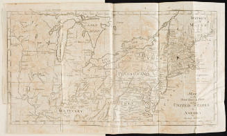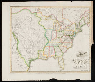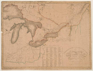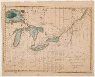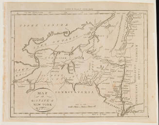
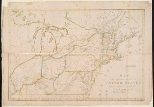
Map of the Northern Part of the United States and the Southern Part of the Canadas
Artist
James Wilson
Date1813
Mediumengraving and watercolor on cream wove paper
Dimensionsplate: 41.7 x 61.2 cm; sheet: 44.1 x 63.4 cm
ClassificationsMaps, charts and plans
Credit LineCharles E. Goodspeed Collection
Terms
Object number1910.48.3651
On View
Not on view