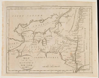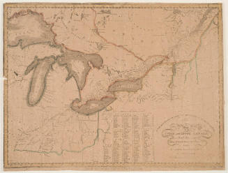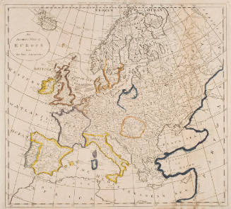

Map of Upper and Lower Canada
Artist/Culture
Amos Doolittle
(American, 1754–1832)
Artist/Culture
Thomas Kensett
(1786-1829)
Date1812
Mediumengraving with watercolor on cream wove paper
Dimensionsimage: 37 x 47 cm (14 9/16 x 18 1/2 in.)
sheet: 39.5 x 48.5 cm (15 9/16 x 19 1/8 in.)
sheet: 39.5 x 48.5 cm (15 9/16 x 19 1/8 in.)
ClassificationsMaps, charts and plans
Credit LineCharles E. Goodspeed Collection
Object number1910.48.3453
ProvenanceThe Charles Goodspeed CollectionOn View
Not on view