
Map of Europe
Date1800s
Mediumengraving on toned paper
Dimensionsplate: 16.3 x 21.1 cm (6 7/16 x 8 5/16 in.)
sheet: 20.7 x 25.5 cm (8 1/8 x 10 1/16 in.)
sheet: 20.7 x 25.5 cm (8 1/8 x 10 1/16 in.)
ClassificationsMaps, charts and plans
Credit LineCharles E. Goodspeed Collection
Object number1910.48.711
On View
Not on view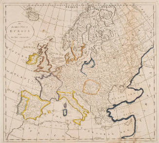


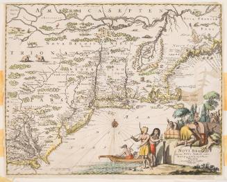
John Ogliby
about 1670, published 1671