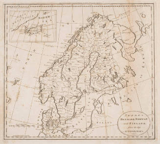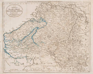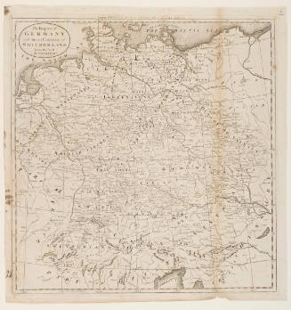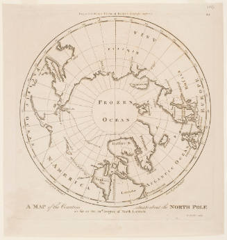

An Accurate Map of Europe from the Best Authorities
Artist
Samuel Hill
(about 1766-1803)
Date1795
Mediumengraving with watercolor on cream laid paper
Dimensionsplate: 34.2 x 37.6 cm; sheet: 38.1 x 41.8 cm
ClassificationsMaps, charts and plans
Credit LineCharles E. Goodspeed Collection
Object number1910.48.3494
DescriptionFrom Matthew Carey, Guthrie's Geography Improved (Philadelphia, 1795; second ed. 1811)On View
Not on view