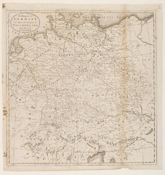
A Map of the North Western Territory
Artist
Samuel Hill
(about 1766-1803)
Date1796
Mediumline engraving on cream laid paper
Dimensionssheet: 21.3 x 26.5 cm (8 3/8 x 10 7/16 in.)
ClassificationsMaps, charts and plans
Credit LineCharles E. Goodspeed Collection
Object number1910.48.1402
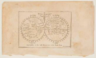
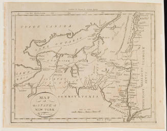
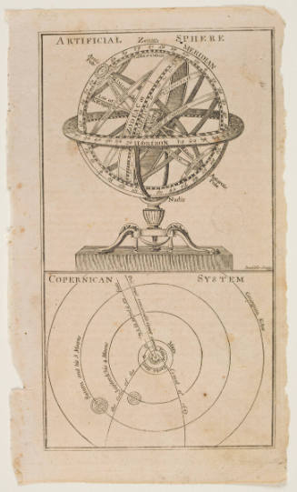
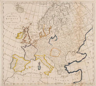
DescriptionFrom Jedidiah Morse, American Universal Geography (Boston, 1789; second ed. 1794; third ed. 1796; fourth ed. 1812)On View
Not on view