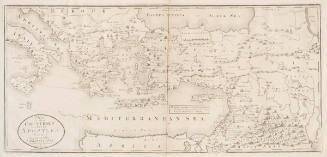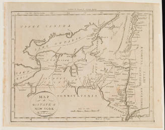

A Map of the Countries Situate about the North Pole
Artist
William J. Baker
Date1795
Mediumetching on cream wove paper
Dimensionsplate: 26 × 24.8 cm (10 1/4 × 9 3/4 in.)
sheet: 28.8 × 27.6 cm (11 5/16 × 10 7/8 in.)
sheet: 28.8 × 27.6 cm (11 5/16 × 10 7/8 in.)
ClassificationsMaps, charts and plans
Credit LineCharles E. Goodspeed Collection
Object number1910.48.3392
DescriptionFrom Matthew Carey, Guthrie's Geography Improved (Philadelphia, 1795; 2d ed. 1811)On View
Not on view