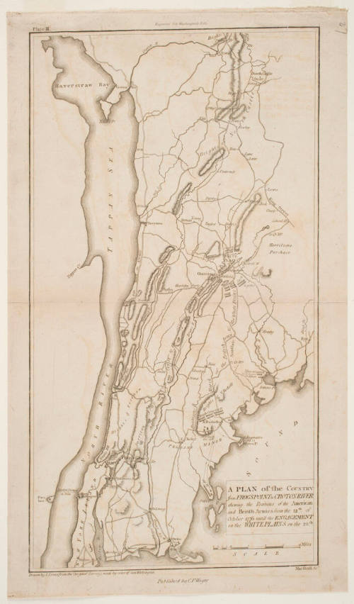
A Plan of the Country from Frogs Point to Croton River: Shewing the Positions of the American and British Armies from the 12th of October 1776 until the Engagement on the White Plains on the 28th
Artist
Benjamin Jones
Date1807
Mediumetching on cream wove paper
Dimensionssheet: 45.5 x 26.5 cm
ClassificationsMaps, charts and plans
Credit LineCharles E. Goodspeed Collection
Object number1910.48.3531
Descriptionfold/crease at center from left to right; published by Caleb Parry WayneOn View
Not on view