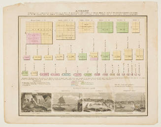
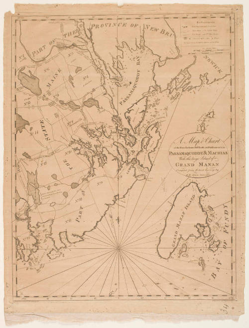
A Map & Chart of the Bays, Harbours, Post Roads, and Settlements in Passamaquoddy & Machias with the Large Island of Grand Manan
Artist
Thomas Wightman
Daten.d.
Mediumengraving on cream wove paper
Dimensionsplate: 54.6 x 43.6 cm; sheet: 57.9 x 45.3 cm
ClassificationsMaps, charts and plans
Credit LineCharles E. Goodspeed Collection
Object number1910.48.3647
On View
Not on view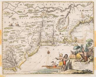
John Ogliby
about 1670, published 1671